This is the hub for GTA 6 map locations, the places, districts and environments of Leonida. As always on this site, what Rockstar has shown comes first and stands on its own; anything from leaks is parked in its own clearly-marked section.
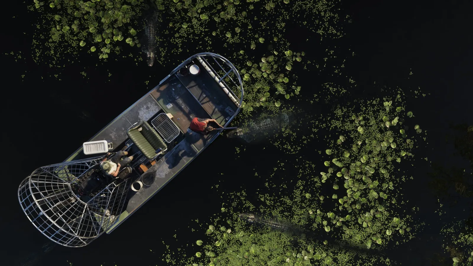
Confirmed locations and environments
Rockstar's official site names six major areas: Vice City, the Leonida Keys, Grassrivers, Port Gellhorn, Ambrosia and Mount Kalaga National Park. Grassrivers is the swamp and mangrove country, Port Gellhorn a faded coastal resort town, Ambrosia the agricultural heartland and Mount Kalaga a national park on the northern border. Smaller official names such as Ocean Beach, Watson Bay, Lake Leonida and Washington Beach come from Rockstar's edition descriptions; see our official place names article for sources. The trailers also show the kinds of places you will find:
- Vice City. The neon-lit, beach-fronted main city, Rockstar's Miami, and the centrepiece of the whole map. It's the most-detailed confirmed location, with its own full guide. Confirmed
- Beaches and coastline. Sandy shores, boardwalks and waterfront strips feature prominently in official footage. Confirmed
- Wetlands and swampland. Everglades-style marsh, airboats, reeds and gator country, appears clearly in the trailers. Confirmed
- Rural roads and small towns. Beyond the city, official material shows open highways, gas stations and modest settlements threaded through the countryside. Confirmed
- Keys-style islands and waterways. Stretches of low-lying coast and connecting water echo the Florida Keys, with boats as natural transport. Confirmed
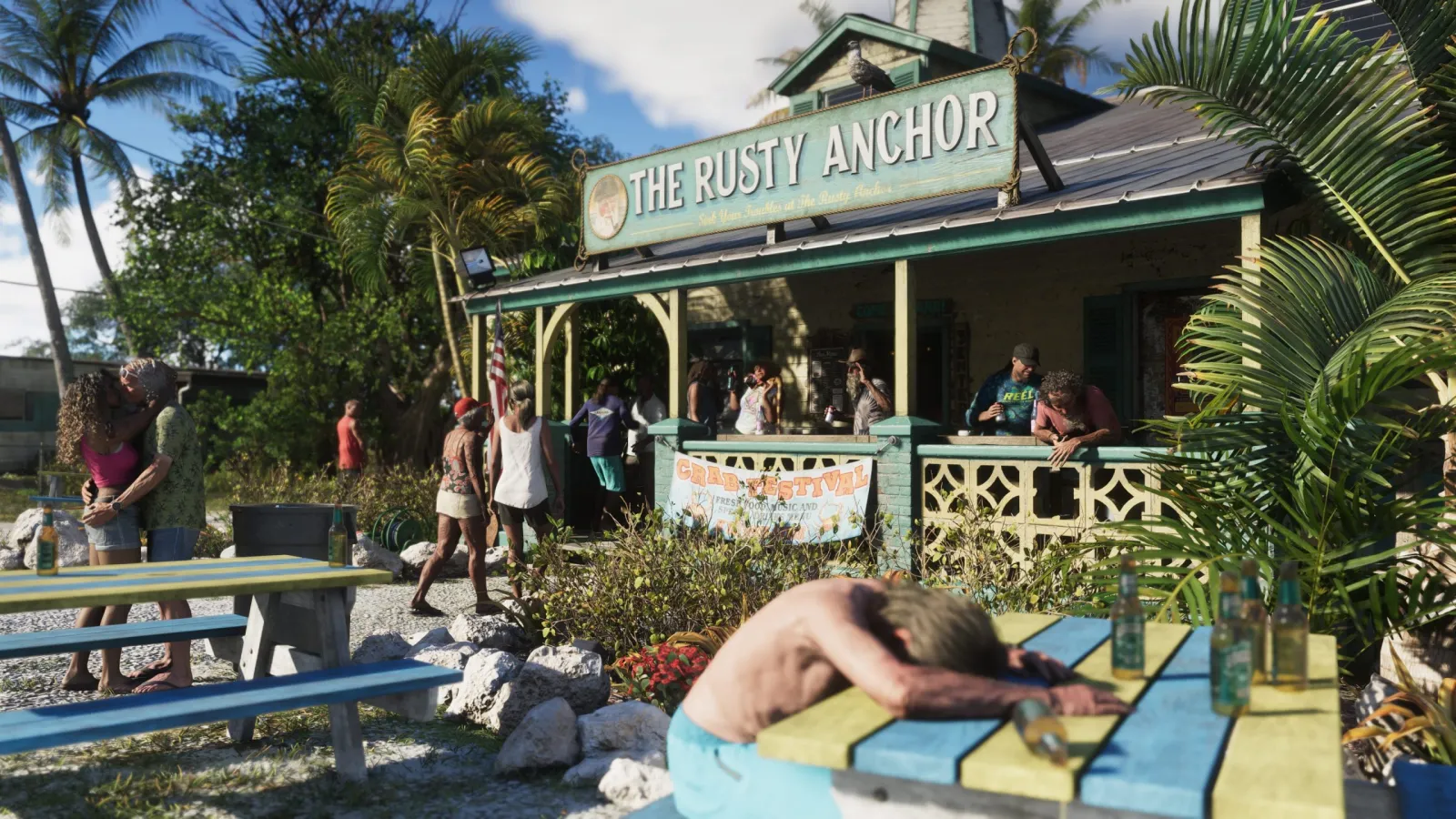
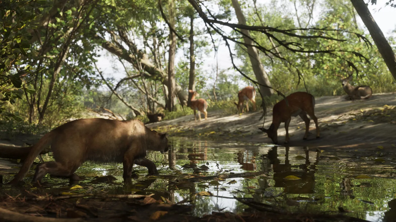
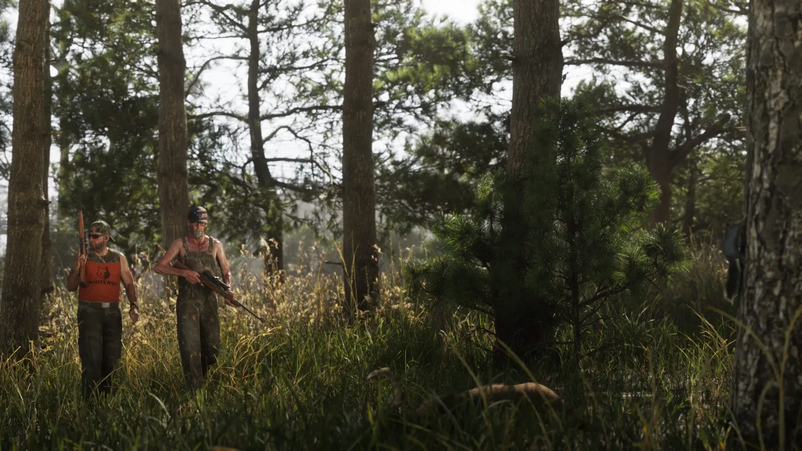
What ties these together is variety: the confirmed GTA 6 map is a mix of dense urban core, tropical coast, wilderness and rural fringe, a full state rather than a single city.
Districts within Vice City
Vice City itself breaks into recognisable zones, a neon entertainment strip, beachfront blocks, a waterfront and quieter residential areas, all visible in official footage. Because Rockstar hasn't published a labelled district map, we cover these by what's shown rather than by leaked names. The detail lives on the dedicated Vice City page.
Locations from leaks (unverified)
Beyond the officially named areas above, a long list of other place names circulates. We keep them strictly separate:
- County names and extra towns. Several settlement and county names (for example Vice-Dale, Mariana, Kelly, Leonard and Lummox counties) appear in leaks or community maps. Rockstar has not used them. Per leaks, unverified. Leak / rumour
- Specific landmarks and interiors. Datamined names for individual buildings, clubs or businesses surface online but aren't verified by Rockstar. Per leaks/datamines, unverified. Leak / rumour
- Exact regional borders. "Full map" location images dividing Leonida into named regions are fan reconstructions, not official cartography. Per leaks, unverified. Leak / rumour
We dedicate a whole page to how these claims stack up, and why we treat them cautiously, on the leaked map guide.
How to explore the locations
The fastest way to get a feel for Leonida is the interactive GTA 6 map at the top of the site: pan, zoom and tap markers, with confirmed places and speculative ones tagged differently so you always know what you're looking at.
From here, three routes are worth taking:
- Vice City: the main city, its districts and its Miami roots.
- Cities: every settlement on the map, confirmed and rumoured, kept apart.
- Map vs real life: how each location traces back to real Florida geography.
The takeaway
The confirmed GTA 6 map locations amount to a varied Florida-style state: Vice City plus the Leonida Keys, Grassrivers, Port Gellhorn, Ambrosia and Mount Kalaga, with beaches, swamp, rural roads and small towns in between. Names beyond Rockstar's own list exist only in leaks for now. We'll promote any of them to the confirmed list the instant Rockstar shows them officially. For quick answers, see the FAQ, or read about this project.